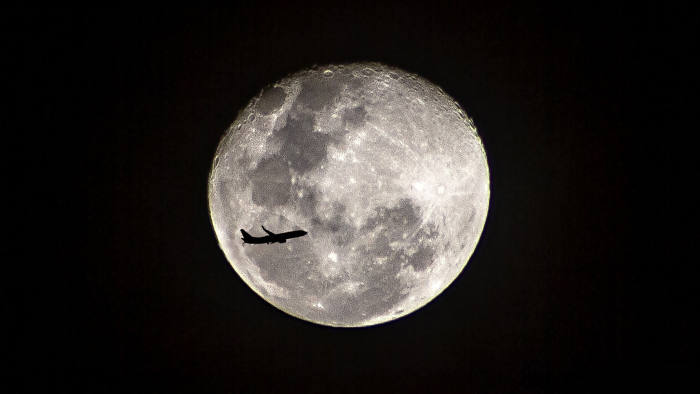
25 August 2019 (Serifos, Greece) – Last winter I was at a National Geographic magazine briefing in Washington, D.C. that covered the various events NASA had planned to celebrate the 50th anniversary of the historic Apollo 11 Moon mission. In the course of the program I learned about Mark Vanhoenacker, a Belgian/American pilot who flies Boeing 787s for British Airways. He is also a prolific writer, his last book being How to Land a Plane. He makes poetry out of the science of flight technology.
He became a columnist for the Financial Times and is also a regular contributor to the New York Times, Slate, and other publications. He recently wrote a piece for the Financial Times about the fascinating links between commercial aviation and the final frontier. Unfortunately it is behind a pay wall but I have permission to share it.
What today’s pilots owe to space technology
From navigation systems to managing teams, commercial airlines have learnt a lot from Nasa
MARK VANHOENACKER
“Did you ever want to be an astronaut?” is one of the questions that almost every pilot is occasionally asked. “Of course”, I reply. Indeed, the recent 50th anniversary of the Moon landing was a welcome reminder to me of my brief “astronaut phase” as a child, as well as of the fascinating links between commercial aviation and the final frontier.
One example is onboard WiFi, which, as a former management consultant, I imagine is changing the experience of business travel. WiFi often relies on connections between earth-orbiting satellites and specialised antennas on airliners — easy to spot on the upper rear fuselage of your jet.
While satellite-enabled passenger WiFi is a relatively new technology, pilots have had access to satellite communications for years. We use this connection to exchange text messages with engineers, flight planners, and customer service colleagues on the ground, for example, and to request updated airport weather reports and high-altitude wind forecasts.
In addition, we can use a satellite-enabled telephone line — the Batphone, colloquially — to contact a doctor on behalf of an unwell passenger. On the 787 we can even route this call to the cabin, allowing the cabin crew (or a medical professional from among the passengers) to confer directly with a doctor on the far side of the planet.
GPS navigation, of course, also relies on satellites. But the most awe-inspiring technology I learnt about when I became a pilot is one known as inertial navigation. It owes much to the Apollo programme, and it’s no coincidence that its debut on the 747 came 50 years ago, too. An inertial system uses accelerometers and gyroscopes to sense accelerations and rotations. It can tell us critical information, such as which way up is — priceless when flying in cloud.
An inertial system can also compute a vessel’s position, based on what it has sensed in the time that’s passed since a previous known position. And once it’s been set up, it doesn’t require any further outside inputs — such as from GPS satellites, stars or radio beacons — in order to do so.
I’ve yet to get over the brilliance of this: it just “knows” where we are (and therefore can’t be jammed). Today, while most airliners use both GPS and inertial data, our inertial systems are among the first we switch on when we sit down in the cockpit — because they require a few minutes of Zen-like meditative stillness, known as “alignment”, during which they sense gravity and the earth’s rotation, and because so much else in the cockpit depends on them.
There’s another Nasa-developed technology, of a sort, in cockpits, though there are no switches or controls for it. CRM, or Crew Resource Management, was developed in the late 1970s with help from the space agency. As distinct from practical flying skills and technical knowledge, CRM focuses on the “human factor” — the teamwork and interpersonal skills required to fly airliners that are designed to be operated by two pilots working together. For example, in a CRM session in a flight simulator, we might practise phrasing questions without specifying the answer we think is correct: “What altitude are you expecting at this waypoint?” instead of, “You’re thinking 7,000 feet at this waypoint, right?”
CRM training, which now includes cabin crew, is one of the most important parts of our biannual simulator training and testing sessions. And, just like our famous checklists, CRM has migrated to other safety-critical fields, such as medicine.
There’s one final piece of space-based technology worth pointing out, arriving, as it did, 100 years after the first nonstop transatlantic flight. The North Atlantic is the world’s busiest oceanic airspace, but traffic within it is constrained by the limited range of ground-based radar. To compensate, controllers must increase the distance between aircraft — both laterally (“wing to wing”) and longitudinally (“nose to tail”). This increased separation means that we can’t always fly the most efficient (and least turbulent) routes, speeds, and altitudes — all of which, to complicate things further, vary constantly as an aircraft’s weight reduces (as fuel is burnt) and meteorological conditions change.
In January, however, an unmanned rocket lifted off from Vandenberg Air Force Base in southern California. Its cargo of satellites completed a network that works with existing airliner equipment to give air traffic controllers, for the first time in history, a radar-like view of the open Atlantic.
The technology, known as “Space-Based ADS-B”, allows more aircraft to fly optimised routes, at more efficient speeds and altitudes, thereby reducing fuel consumption by an average of 600kg per flight, according to NATS, the UK-based air traffic services provider. Even I don’t want to watch a film about the rocket that made this possible. But whichever Apollo film you’re next catching up on, spare a thought for the unsung mission that might make your own journeys a little smoother and shorter.
POSTSCRIPT
A good read. Vanhoenacker might have thrown in a few physical materials that were byproducts of the space program and have made a huge difference, such as kevlar and carbon fiber.
And the inertial guidance systems used in planes are wonders, logical descendants of the first accurate marine chronometers. Back in the late 18th century John Harrison, a London watchmaker produced a series of clocks, each more ingenious and accurate than the one before. The key was to build in compensating mechanisms in multiple directions so that whichever way the ship rolled the clock could compensate for it. As a result, a ship could know its longitude anywhere on the sea, as long as it could measure noon and compare the reading with Greenwich time as indicated by the clock. Today’s inertial systems just extend the logic with gyroscopes and other theoretically simple but practically very sophisticated mechanisms.
My other recent space related posts:


